Wildflowers of the Stuttgart Area
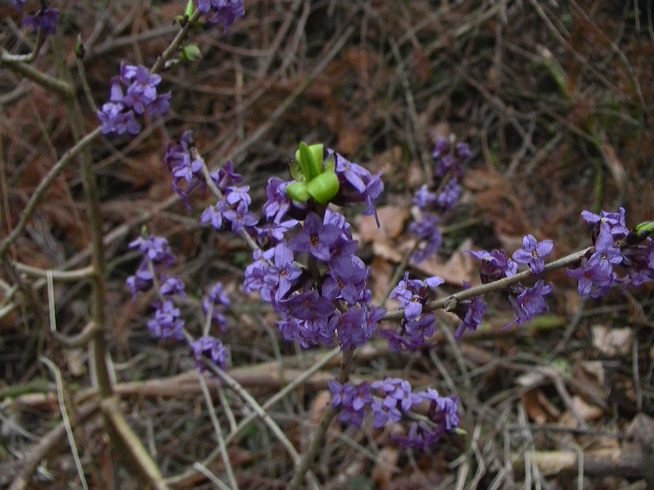
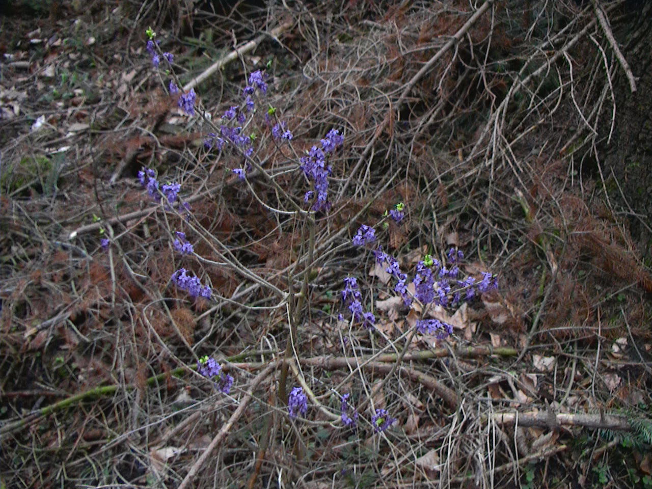
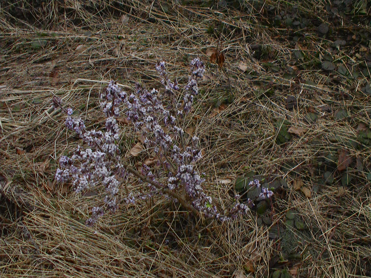
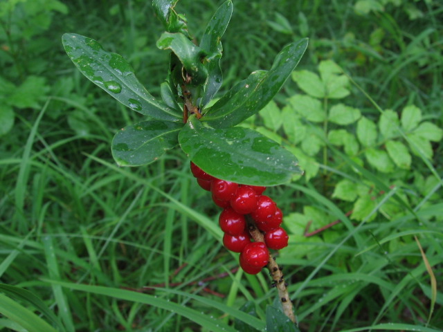
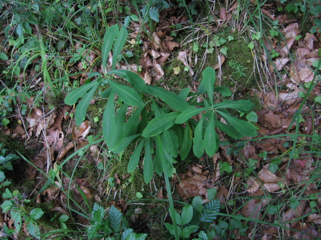
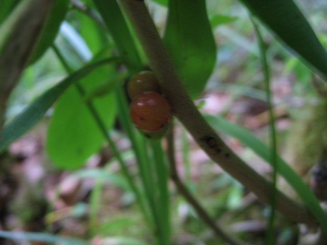
Daphne mezereum
| Family : | THYMELAEACEAE (Mezereum Family) |
| Common Name (UK) : | Mezereon |
| Common Name (DE) : | Seidelbast |
| Common Name (FR) : | Joli-bois |
| Habitat : | calcareous woodland. |
| Remarks : | Introduced to the U.S. |
| First appearing : | March |
| Abundance : | |
| Closest Location to Stuttgart basepoint: | Along the Lindentalsträsschen in the forest west of Botnant, Stuttgart. N48Ḟ 47.268' E9Ḟ 06.296' |
|
 |
|
 |
|
 |
|
 |
|
 |
|
 |
